Monday, October 29, 2012

An Aboriginal Inheritance at Shoal Bay

The earliest inhabitants of the Port Stephens area were the Aboriginal people of the Worimi tribe.

The Worimi tribe consisted of the Grewerogal, Gampingal and Maiangal groups who lived on the waterfronts around the Port Stephens. 

There are many examples of Aboriginal occupation sites in Port Stephens which are still evident today such as shell middens and scarred trees. The sites are protected by law.

Signage for the Tomaree Coastal Walk from Tomaree Head to Fingal Bay
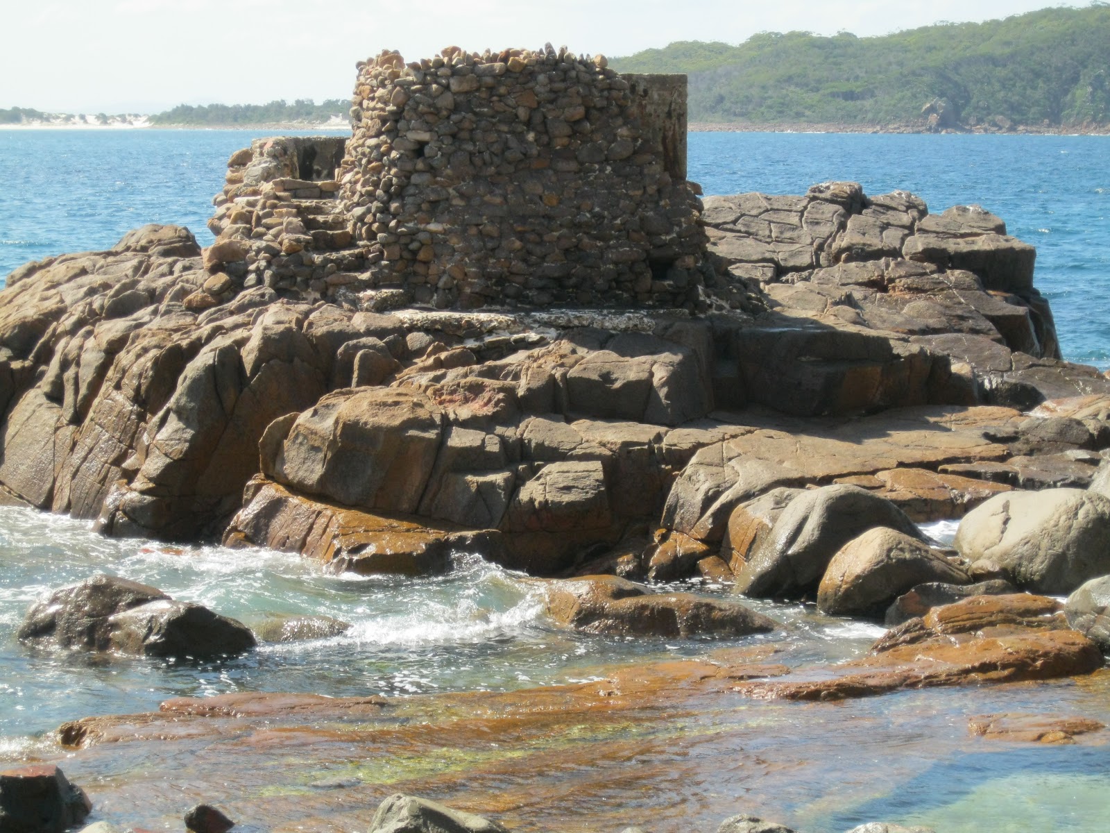
View from Tomaree Head overlooking Xenith, Wreck and Box Beaches
and out to the Final Bay Spit
On the Tomaree Coastal Walk, mid-way along the track to Wreck Beach adjacent to the entrance from Jolleen Crescent, Shoal Bay, there is a significant local Aboriginal shell midden.

A midden is a mound made up of the remains of  shells, fish bones, charcoal, the bones of mammals and sometimes tools. They are generally found at important sites where Aboriginal people have gathered. In coastal areas, they are found near places of good fishing or abundant shellfish, near rocky headlands and estuaries.[ Port Stephens - Great lakes Marine Park, Teacher Fact Sheet, Module 4 Sea and Country].

This midden is located on the steep incline up from the shoreline of Shoal Bay and has obviously been uncovered by the excavation of the fire trail which is the present day track. It extends over a large area.
It is also quite deep as indicated by the various layers which are evident in the photos below. It would have been laid down over a considerable period of time and would hold much Aboriginal history.

Aboriginal midden on the Wreck Beach track showing various layers

 A front-on view of the layered midden on the Wreck Beach track
A closer view of the shells in the midden
Also nearby the Jolleen Crescent entrance to the walking track, there is an Aboriginal scarred tree. These trees were carved out by Aborigines for various purposes such as building canoes or shields. This one would probably be for a spear. There are several examples of scarred trees around Port Stephens including the "canoe" trees at Little Beach

Aboriginal scarred tree  - near  Joleen Crescent, Shoal Bay
As an interesting sideline, there is a photo, from the Australian Museum, of a re-creation of the Aboriginal technique of tree carving. This can been found on the Information board in parkland at Carlingford, NSW, along Hornsby Council's Pioneer Track just near the Roselea Public School.


********************************************************************************

The Nelson Bay, Port Stephens and Newcastle area is rich in early Australian history.
If you are interested in researching Australian history go to our website at :
http://www.historyservices.com.au/convicts.htm

All photos taken October 2012

Blog prepared by Mary McGuinness


Jollenn

Tuesday, October 23, 2012

Climbing Tomaree Head


View of Port Stephens from Tomaree Head  - October 2012
Tomaree Head is the headland on the southern side of the entrance to Port Stephens, New South Wales. Port Stephens was first sighted and named by Captain Cook in May 1770. It is a large natural harbour just to the north of Newcastle.

The summit of Tomaree Head is 161 metres (528 Feet) above sea level. Some 100,000 visitors make the climb to the summit each year. The track up is quite steep on the lower slopes as it winds through shady blackbutt forest. As you approach the summit the vegetation changes to a drier woodland and you have then a panoramic 360 degree view over Port Stephens and the eastern coastline. Magnificent. Well worth the climb!

In World War II, because of its proximity to the port and steelworks at Newcastle, the Port Stephens area was chosen as defence hub in Australia's war effort against a possible Japanese invasion.

In 1942, the Royal Australian Air Force (RAAF) erected a Radar Station on the summit of Tomaree Head, for the purpose of detecting enemy shipping and monitoring flight movements within a 120 km range. It was the longest serving RAAF radar in World War II operating until 1947.

Site of the Radar Station today exhibiting the Radar Aerial turning gear
which stood underneath the radar tower.

Remains of a structure in the Radar Station complex.

Remains of a rock structure on the summit. During the war years
buildings at the Radar Station  were camouflaged, by mesh and
cement to make them appear like rocks

A heavy battery artillery fort was also constructed on the lower slopes of Tomaree Headland in 1942. Fort Tomaree, as it was called consisted of two 6 inch (152m) guns; two 3 pounder guns; torpedo tubes; mortars; machine guns; rifle pits; search lights; command posts; observation posts; barbed wire entanglements and accommodation.

The 'Guns of Tomaree' were never fired in anger but Fort Tomaree was an important military base in the days of  World War II. Walking tracks on the lower slopes of the headland and around the shoreline reveal the remains of this heritage today.

No 1 Gun Placement on Tomaree Headland


Concrete utility room on Tomaree Headland
Remains of old rail tracks on Tomaree Headland


Remains of a torpedo tube off Tomaree Headland

No 2 surf gun (3 Pounder) off Tomaree Headland

 *****************************************************************************
The Nelson Bay, Port Stephens and Newcastle area is rich in early Australian history.
 
If you are interested in researching Australian history go to our website at :
http://www.historyservices.com.au/convicts.htm

All photos taken October 2012

Blog prepared by Mary McGuinness

Sunday, October 14, 2012

History at Grotto Point

On the well known Manly to The Spit Walk, there a two side excursions in the Grotto Point Reserve that are rich in history. 

The first is the Grotto Point Aboriginal Engravings. Entering this section of the Reserve from the car park at the end of Cutler Road, Balgowlah Heights, you take the trail to the right, signposted to Castle Rock Beach. After descending a series of stone steps about 100 metres from the car park there several wooden railway sleepers marking the site of the engravings. 

Depicting a kangaroo, fish and boomerangs, the engravings have been dated to the Aboriginal peoples of the Eora group, prior to European settlement. They are very significant in that they are some of the few remaining examples of this type of Aboriginal culture around Sydney Harbour.

Site of the Grotto Point Aboriginal Carvings marked by
railway sleepers

Engraving of a Kangaroo
Engravings of Boomerangs


One example on the site of an engraving of a fish.

Part of a larger engraving depicting a kangaroo, a sun fish
and several smaller fishes
The second excursion is to the Grotto Point Lighthouse overlooking Middle Head. Continuing on from the engravings, you take the track to the left at the major sign post. It is an interesting bush walk down to the lighthouse.

A First Fleet survey party camped at Grotto Point on 28 January 1788.

Construction of the Grotto Point Light  began in 1910 and was first lit on on 1 September 1911. It operates as the front range light at the entrance to Port Jackson and is paired with the Parriwi (Rosherville) Light located just off Parriwi Road up from The Spit, which is the rear range light. Both of these lighthouses were designed  designed by Maurice Festus in a "Disney Castle" architectural style.


Side view of Grotto Point Lighthouse overlooking Balmoral in
the background.
Back view of the lighthouse overlooking Middle Head
and out to sea.

Three interestingly placed stones on the track
leading to the Lighthouse

At nearby Clontarf Reserve, a large Norfolk Pine tree marks the spot where an attempt was made to assassinate HRH The Duke of Edinburgh on 12 March 1868. He was the son of Queen Victoria and was the first member of the Royal family to visit Australia. He was attending a giant picnic for the Sydney Sailors Home at the popular Clontarf Beach. The Duke who was shot in the back, duly recovered. His would-be assassin, Henry James Farrell, a member of an Irish Republican group was charged and hanged. It was not one of our finest historical  moments.
Norfolk Pine Tree at Clontarf Reserve


Plaque commemorating the attempted assassination of HRH,
Duke of Edinburgh


*********************************************************************************

If you are interested in researching Australian history go to our website at :
http://www.historyservices.com.au/convicts.htm

All photos taken October 2012

Blog prepared by Mary McGuinness